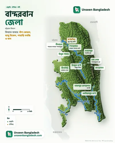
Bandarban District · Chattogram Division · নীলগিরি
Nilgiri travel guide
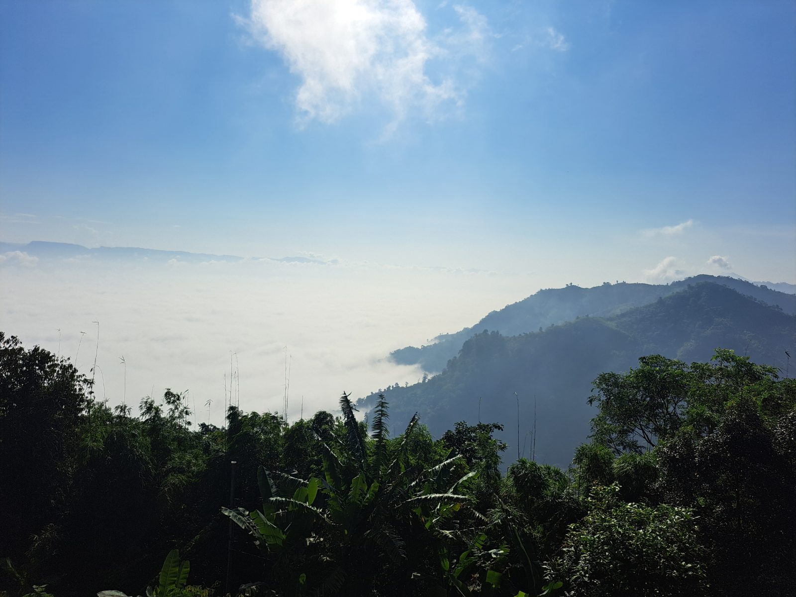
About 2,200 ft up; at dawn you can see clouds below your feet.
Photos by visitors
At a glance
- Height
- About 2,200 ft
- Location
- Bandarban–Thanchi road, about 47 km from town
- Run by
- Bangladesh Army
- Best time
- June–November (clouds), December–February (clear skies)
History and details
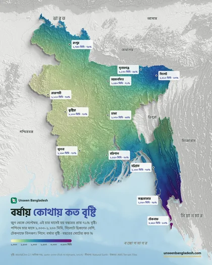
Nilgiri is one of Bandarban's highest tourist spots, developed under the army in the 2000s. The hilltop has cottages, a helipad and viewpoints. On monsoon and autumn mornings the clouds sink below the hills — it feels like standing above a sea of clouds, which is why many call it the 'land of clouds'.
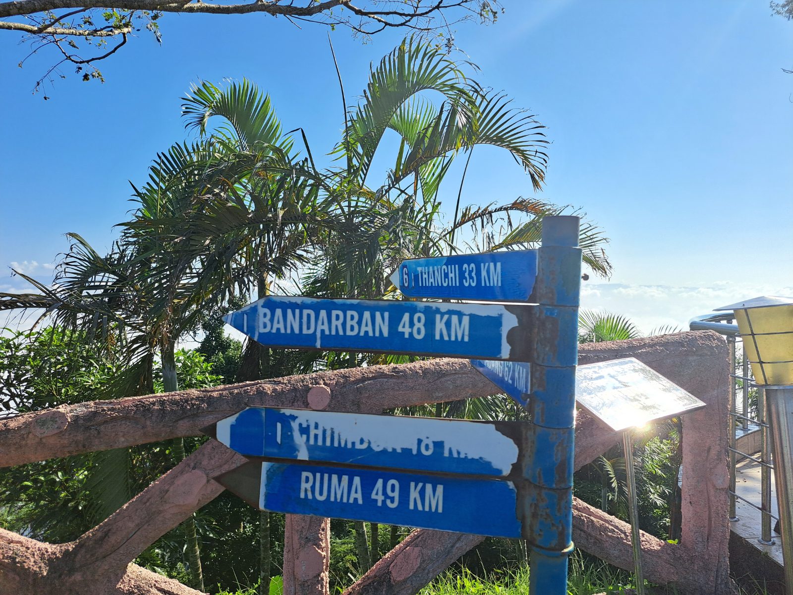
The road to Nilgiri is an experience in itself — winding hill roads, Chimbuk Hill, Mro villages and the distant line of the Sangu River. On a clear day you can see ranges of hills far into the distance from the top.
Staying the night at Nilgiri gives the best chance to see the sunrise and the morning clouds; but cottages are limited, so book ahead.
Things to do
- Go to the viewpoint before sunrise to see the morning clouds
- Stop at Chimbuk and Shoilopropat on the way
- Buy handwoven things from the Mro villages
- Watch the sunset and get back to town before dark (if not staying)
How to get to Nilgiri
About 45 km, 2 hours, by chander gari from Bandarban town.
Bandarban is about 330 km from Dhaka; the journey takes 7–8 hours.
- 🚌 By bus: Direct Shyamoli, Hanif, S. Alam and Saint Martin Paribahan buses from Sayedabad/Kalabagan; non-AC ৳850–1,000, AC ৳1,500–2,000.
- 🚗 By road: About 2.5 hours by bus from Chattogram to Bandarban.
Where to stay
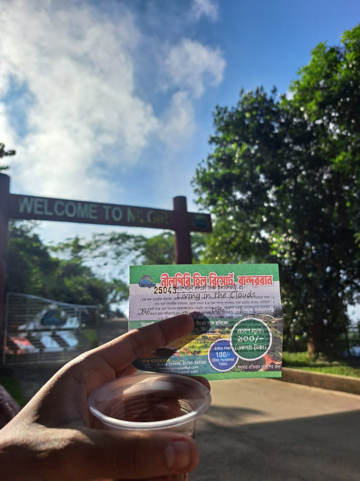
- Nilgiri Resort (army, booking essential)
What to eat
Bamboo shoots, bamboo chicken, hill vegetables and fruit
Good to know
- See Chimbuk and Shoilopropat on the way
- Take motion-sickness tablets beforehand for the hill roads
- Travel on hill roads may be restricted after 5 pm
🚨 Emergency numbers
- 01320-159712Tourist Police, BandarbanDuty officer for this area
- 999National emergency servicePolice, fire service and ambulance; 24 hours, free
- 01320-222222Tourist Police control roomFor tourists anywhere in the country, 24 hours
- 01887-878787Tourist Police hotline
- 102Fire Service hotlineFire, accidents and rescue
🏥 Find the nearest hospital on the map ↗
Numbers are from the Bangladesh Police and Fire Service websites, last checked 11 October 2026.
More to see nearby
- Chimbuk Hill (20 km before)
- Shoilopropat (39 km before)
- Thanchi (30 km beyond)
- Jibannagar viewpoint
More places to visit in Bandarban district
- Nilachal — A hilltop near town; sunsets and views of ranges of hills.
- Golden Temple (Buddha Dhatu Jadi) — A golden Theravada Buddhist temple on a hilltop.
- Boga Lake — A natural lake about 1,200 ft up; you can stay here on the way to Keokradong.
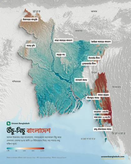
- Keokradong — One of the country's highest peaks; a favourite with trekkers.
- Nafakhum Waterfall — One of the country's biggest waterfalls, on the Sangu.
- Meghla Tourist Complex — A family outing with a lake, hanging bridges and a cable car.
- Chimbuk Hill — A high hill on the way to Nilgiri; Mro villages and views of clouds.
- Shoilopropat — A small waterfall right by the road; Bawm handwoven goods for sale.
- Debotakhum — A deep, cold pool between sheer rock walls; you float in on a bamboo raft.
Read more on the blog
- Bandarban 3-Day Tour Plan and Cost 2026: Nilachal, Nilgiri and Debotakhum — How to fit Bandarban's best into three days: the Golden Temple and sunset at Nilachal, the hill road past Shoilo…
- Bandarban Travel Guide: Nilgiri, the Golden Temple, Boga Lake, Nafakhum and Costs — The district of hills above the clouds, the Sangu river and waterfalls. How to get to Bandarban from Dhaka, chander…
- Bangladesh in Clay: 23 Districts and Their Landmarks as 3D Dioramas — From Chattogram's City Gate to Kanchenjunga seen from Panchagarh, from Sylhet's Keane Bridge to Bhola's Jacob Tower:…